
Five minutes together
Look. Wonder. Talk.
Our discovery: Compare visible settlement patterns and describe a connection between built places and surrounding countryside.
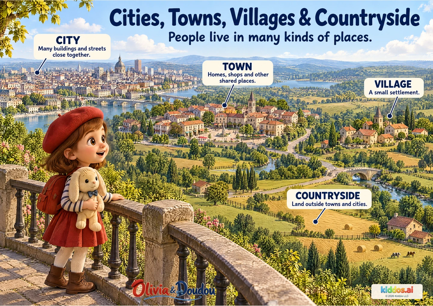
Choose two parts of the landscape and compare what you can actually see: buildings, streets, shared spaces, fields or trees. Use the labels after your child has noticed a difference.
What looks different between the city and the village here?
Start here
Compare two clusters using more/fewer and close together/spread out.
Explore further
Explain a connection between a settlement and surrounding land without treating the labels as exact size thresholds.
Three questions to share
1What looks different between the city and the village here?
Answer cue: The pictured city has more buildings close together; the pictured village is a smaller cluster. Children may also notice roads or open spaces.
2Is the countryside empty of people?
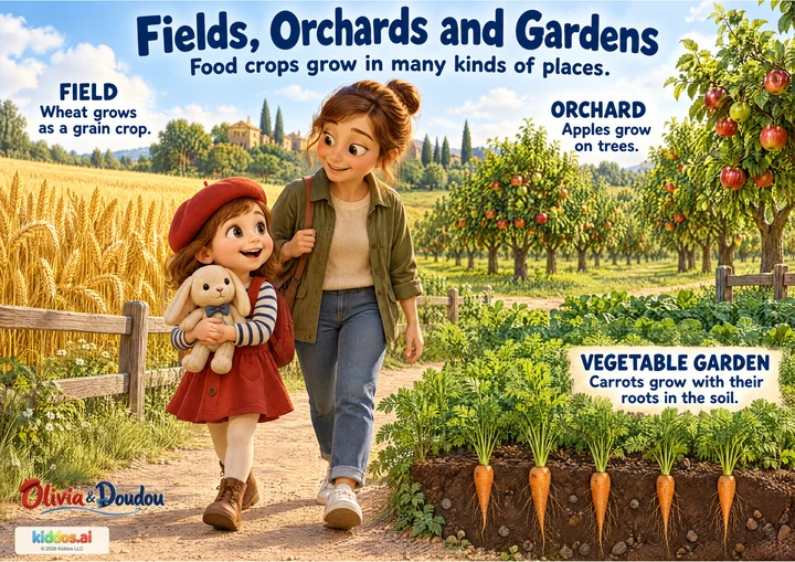
Answer cue: No. People live and work there too. This picture includes farms and connections between settlements.
3How could these places be connected?
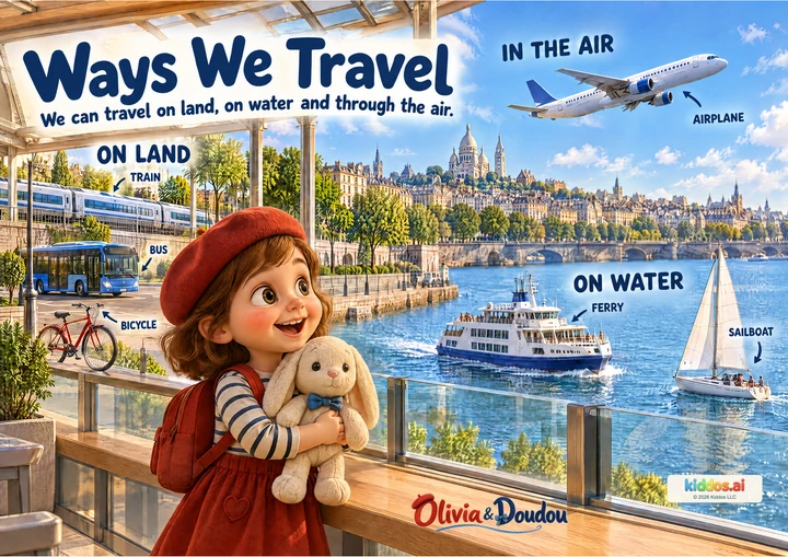
Answer cue: The roads link places. People may travel between them for family, work, shops or other activities; those possible journeys are discussion ideas, not all shown in the picture.
If your child is unsure: Compare two clusters using more/fewer and close together/spread out.
Something to try together
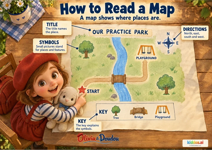
Connect two places on a pretend map
You’ll need: Paper and crayons.
- Draw two different clusters of buildings and some open land.
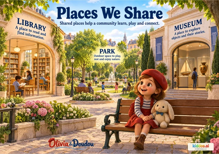
- Add a road or path that connects the clusters. Choose a shared place, such as a library or park.
- Tell a short journey along your route and explain what the traveler passes.
What this can show
The child names a visible difference and describes a plausible connection between two places. Use a made-up place. Children do not need to share their address, photograph their home or compare family possessions.
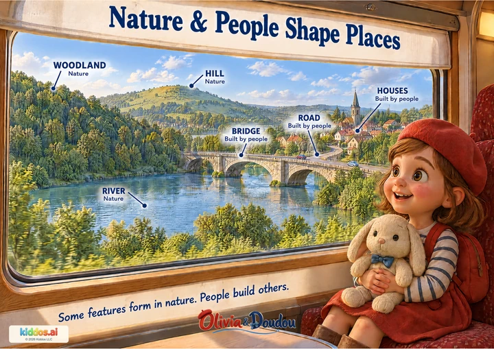
Return to it: Return to Nature and People. Which features on your map were built by people, and which are natural?
Get the guide and discovery recordFor teachers · About 15 minutes
A small lesson with room to explore.
Learning aim: Compare visible settlement patterns and describe a connection between built places and surrounding countryside.
Prepare: Paper and crayons. Read the answer cues before sharing.
- 3 min
Notice
Look together and invite one observation before introducing the vocabulary.
- 4 min
Compare
Use the three discussion prompts, following the picture rather than expecting memorized definitions.
- 5 min
Try together
Draw two different clusters of buildings and some open land. Add a road or path that connects the clusters. Choose a shared place, such as a library or park. Tell a short journey along your route and explain what the traveler passes.
- 3 min
Explain
The child names a visible difference and describes a plausible connection between two places.
Check the idea together
The child names a visible difference and describes a plausible connection between two places.
What to listen for
The pictured city has more buildings close together; the pictured village is a smaller cluster. Children may also notice roads or open spaces. No. People live and work there too. This picture includes farms and connections between settlements. The roads link places. People may travel between them for family, work, shops or other activities; those possible journeys are discussion ideas, not all shown in the picture.
Offer two enlarged scenes at a time, a spoken description or large tactile blocks. Accept invented places and avoid assumptions about travel or housing experience.