
Five minutes together
Look. Wonder. Talk.
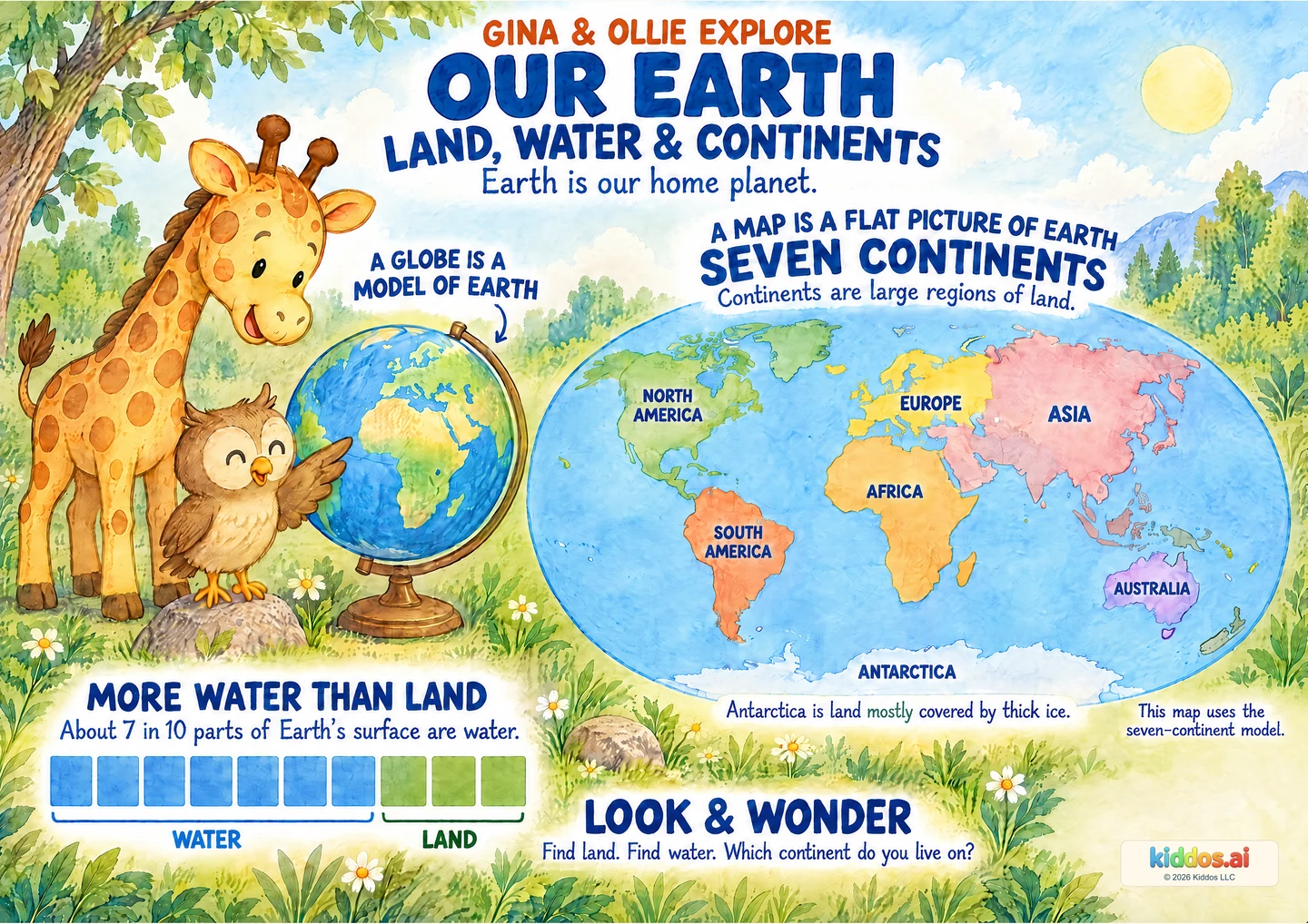
Our discovery: Identify one land area and one water area, explain which covers more of Earth’s surface, and find one named continent with adult support.
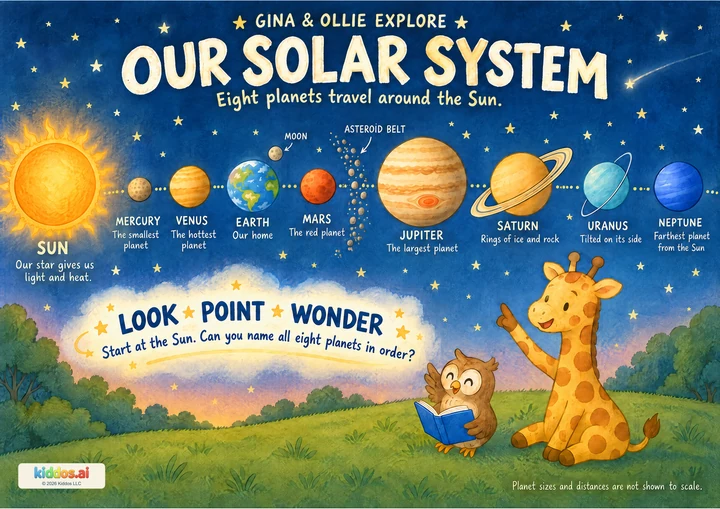
Remember: We found Earth among the planets. Now take a closer look at its surface.
Revisit that discoveryStart beside Gina at the globe: “What do you notice?” Explain that a globe is a round model of Earth, and this map shows Earth on a flat surface. Find one land area and one water area together. Next, count the ten equal parts in the strip: seven blue parts represent water and three represent land, approximately. Finally, let your child choose one continent to find. Read its name together; remembering all seven names is optional.
Gina is looking closely at the globe. What do you notice first?
Start here
Find one land area and the water beside it. An adult can read the labels or describe the picture.
Explore further
Find two continents and compare their positions. Notice that Europe and Asia touch: a continent name does not always mean an isolated piece of land.
Three questions to share
1Can you show me some land and some water?
Answer cue: Point to a continent for land and to the blue ocean around it for water. Antarctica counts as land even though ice covers it. Use the labels and shapes as well as colors.
2What covers more of Earth’s surface: water or land? What picture clue helps?
Answer cue: Water covers more. The strip has seven equal blue parts and three land parts. It is a rounded model of surface area; the more precise figure is about 71% water-covered.
3Which continent do we live on, and where can we find it?
Answer cue: An adult identifies the family’s continent using a familiar atlas or globe if needed, then helps the child locate its label. The answer depends on where the family lives. This overview does not show cities or every island, and no address needs to be shared.
If your child is unsure: Let’s find just two things: one patch of land and one patch of water. I can read or describe the labels while you point, speak, sign or listen.
Something to try together
Take a finger journey
You’ll need: The poster and an adult; optional paper and crayons. A globe or atlas may help an adult locate a home continent, but no purchase or physical trip is needed.
- Choose one labeled continent on the poster. Read or listen to its name together.
- Trace along part of its coast with a finger, or ask an adult to describe the meeting of land and ocean. No writing on the poster is needed.
- Choose another continent and describe where it is on this map. If an ocean lies between them, point to the water in between.
- Optional: draw a simple land shape with water beside it. Say that it is your model, not an exact world map.
What this can show
A coastline is where land meets the sea. The poster is a simplified map for finding broad regions. Its decorative colors and flat shape should not be measured as exact Earth areas; use the equal ten-part strip for the approximate land/water comparison.
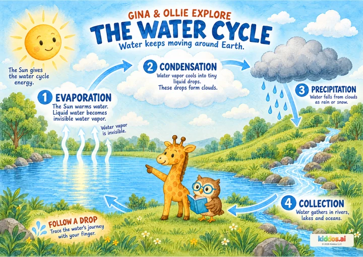
Return to it: Return to the map after the Water Cycle poster. Find an ocean and imagine one drop’s next step into the cycle.
Get the guide and discovery recordFor teachers · About 20 minutes
A small lesson with room to explore.
Learning aim: Learners identify land and water, use the ten-part strip to compare surface coverage, and locate one continent with support.
Prepare: Display or print the poster. Read the three answer cues and the continent-convention note. Check the home-continent answer before the lesson; do not collect children’s addresses. Optional atlas or globe, paper and crayons.
- 3 min
Notice the globe
Invite one observation. Name globe as a round model and map as a flat representation.
- 5 min
Find and compare
Point to one land area and water. Count the ten equal parts together, then compare seven and three. Explain that the strip is approximate.
- 8 min
Take a finger journey
Pairs choose a continent and take turns locating it and following a coast on the poster. Offer adult description as an equal participation option.
- 4 min
Explain and connect
Ask the core check. Let learners point, speak, sign, draw or dictate. Invite one next topic: water’s journey, an animal habitat or Earth’s inside layers.
Check the idea together
Show land and water. Which covers more of Earth’s surface, and how does the strip help us tell?
What to listen for
A named continent is land; the surrounding blue ocean is water. Seven of the strip’s ten equal parts are blue and three are land, so it represents more water than land. This is approximate. Identify any one labeled continent with adult help; full seven-name recall is not required.
For a first step, compare just land and water. Read names aloud or describe shapes and positions. For an extension, compare two continent positions or notice connected Europe and Asia. Accept pointing, speech, signing, listening or a drawing; color naming is not required.